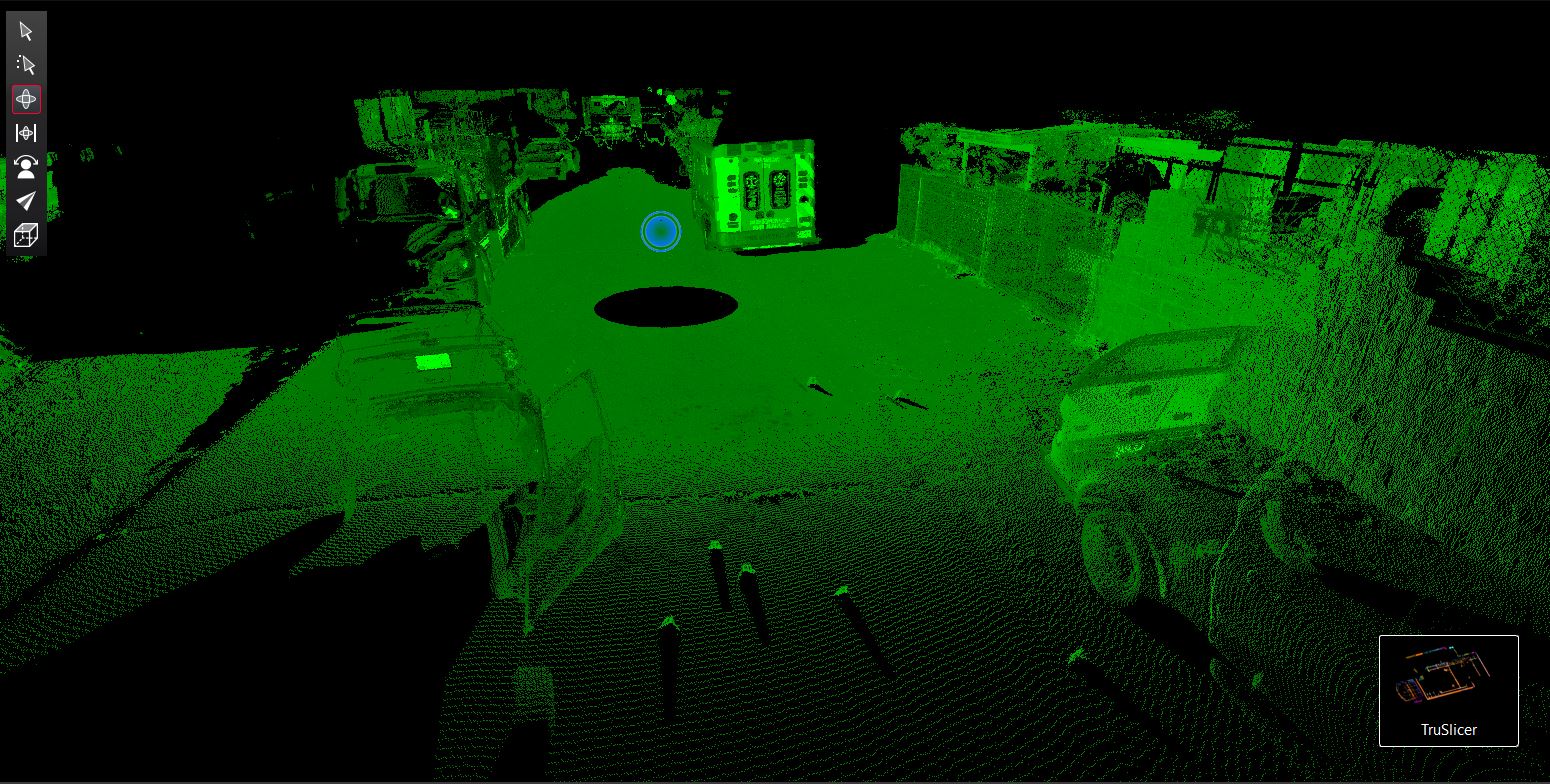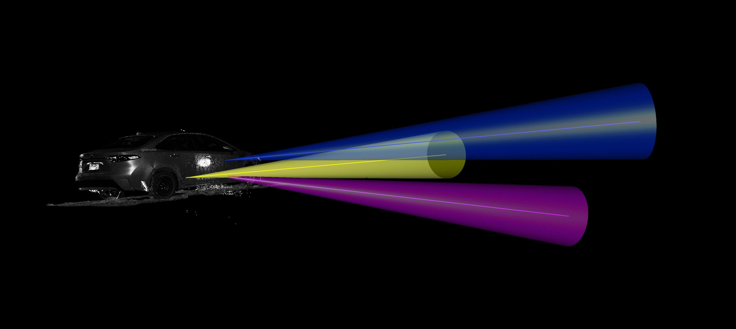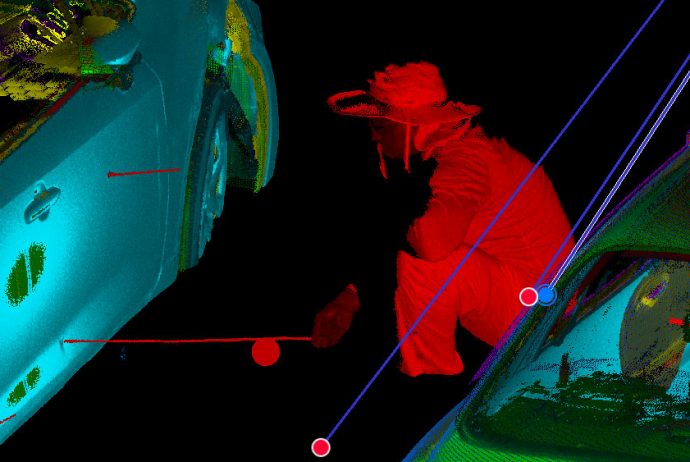
We use the latest LIDAR technology from Leica and Faro to accurately map incident scenes for documenting evidence and for measuring bullet trajectories. The data captured from these instruments can place the viewer in the scene from any prospective making them invaluable tools for crime scene reconstruction. We have also used UAS (drones) to supplement the capture of land based point cloud data.